kelly had also given me wonderful directions to head east through the city and to follow the river south. i was to stop at a great farmers market that was near the heart of st louis and be near all of the tourist stuff that i wanted to take photos of. a few miles(maybe 10) into my trip i looked down and realized that i had taken a wrong turn somewhere. if i wanted to go back, it would be additional miles. i thought: “hey, i can do this. i’ll just head south towards the state park and just skip everything else.” i really should have went back to where she had suggested. the roads were all hills, and it seemed like i was forever climbing.
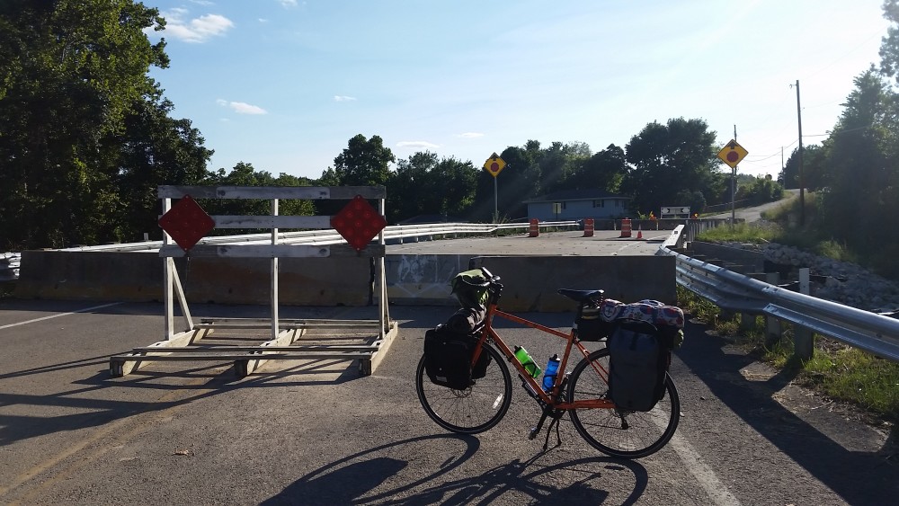
i was attempting to cross the merimac river, when suddenly the sidewalk ended. down the hill i saw a bike path, but it didn’t go anywhere that i needed to go. i went down the hill and got on the bike path. i stopped to look at my gps but the next bridge that looked somewhat friendly was five miles or so east. i stopped the first person on a bike and asked if there was a safe way to cross the river nearby. he said no, and we talked for a few minutes. his name was rick. he said that it would be easier and safer if he just gave me a lift over the bridge, being that he had a truck in the nearby parking lot. i agreed and he drove me over the 141 bridge across the river about two miles. we talked about my adventure and we both agreed that i had stopped the perfect person to ask for directions. crossing the bridge in his truck definitely showed me that there wasn’t any safe way that i could have crossed there.
finally about forty miles out of the city, it seemed like i had hit a plain and it was downhill for a bit. the shoulders weren’t so bad and the sun felt great. rolling through the roads wasn’t as difficult anymore and i was cruising.
passing through values mines i started to see small signs all over that advertised how much of a big community that it used to be when mining lead was a big deal. it was interesting to see so many artifacts of years that had passed.
i hit more hills eventually and then rush hour came. the cars were all in haste to get wherever, and the shoulders seemed to disappear. i stopped at a gas station for a while to wait for traffic to slow down and got some ice water. leaving, i found quite a bit more hills and about twenty miles from the state park my legs just decided they weren’t going to do it anymore. i hit a wall. i stopped and rested for a moment, stretched out and i felt a little better. i pushed harder and made the rest of the journey. i believe my mileage for the day was around 80 after my mishap, but i would have to check a map to accurately gauge everything. sometime soon, i’ll plot out the actual route i took and then i’ll have a much better guess of my mileage. i think currently i’m around 2700 miles. day 31 done.


